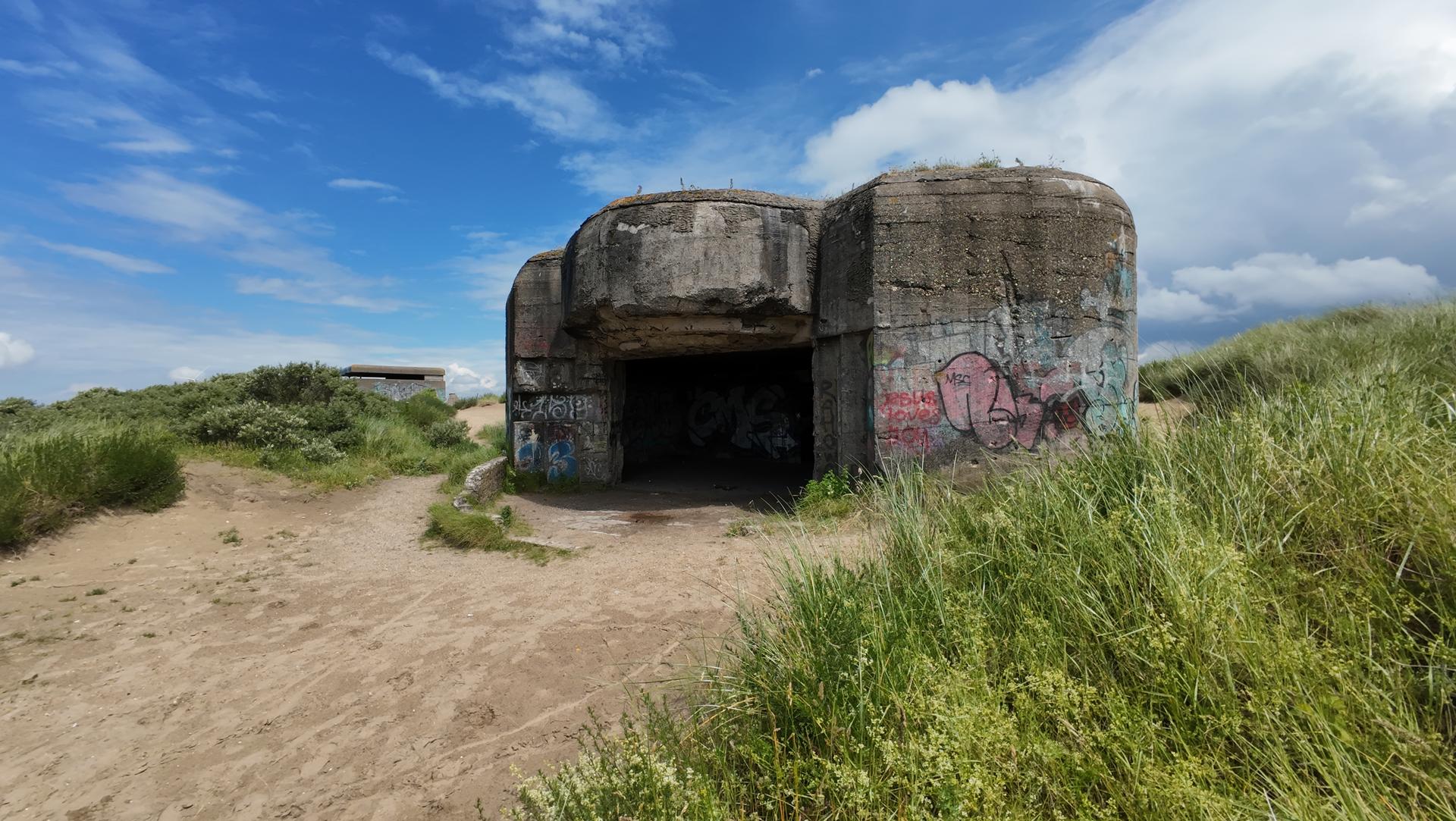
Welcome to BunkerArchive – Mapping History, One Bunker at a Time
History is embedded in concrete and steel, hidden in forests, buried beneath the landscape, scattered
across the dunes, and sometimes visible in plain sight. BunkerArchive started as a personal project to
document and preserve these remnants of military history by digitizing old archive maps and transforming
them into accessible, accurate records. By connecting these locations to their corresponding defensive
positions, the aim is to provide a comprehensive, organized overview of fortifications.
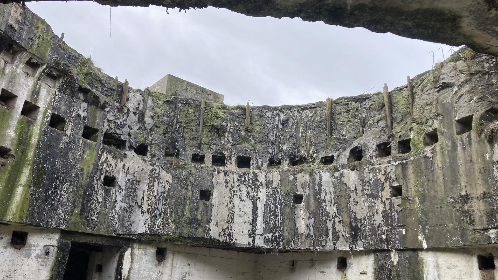
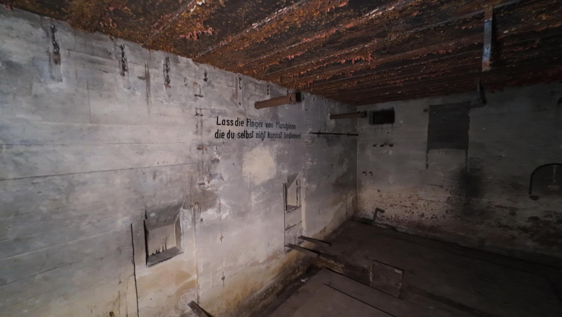
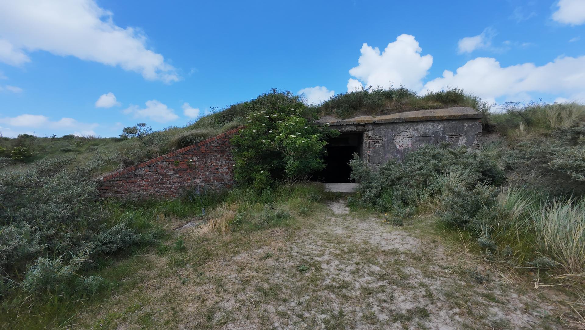
Currently, much of the focus is on the Atlantikwall, where I've worked to map and link numerous bunkers
to their historical German positions. This effort is supported by archival documents, field photographs,
and ongoing research to help create a fuller picture of these structures.
BunkerArchive is developed and maintained by Mees van der Wijk, who has
spent considerable time working with
the archives, digitizing records, and building the platform. While it started as a solo project,
collaboration is now encouraged, and I invite others to contribute their knowledge, research, and
discoveries to help expand and enrich the archive.
We are making the last couple changes! Going live in a month or two, stay tuned
Explore and Discover
This project is more than just a collection of coordinates and blueprints—it is a living archive.
Every site includes historical context, construction details, and strategic significance.
- Digitized Archive Maps – Old maps brought to life using modern technology.
- Aerial War Photography – WWII-era aerial images analyzed to locate and verify fortifications.
- Defensive Positions – Fortifications categorized within their historical military context.
- Historical Documents & Photos – Archival materials and field images bringing locations to life.
- Post-War Archives – Digitized and fully indexed records from the years following the war, making research easier than ever.
Join the Community
BunkerArchive is built on the idea of collaboration. If you have expertise in historical research,
access
to rare documents, or enjoy exploring and photographing bunker sites, your input is valuable. By
sharing knowledge, discoveries, and resources, we can work together to uncover forgotten structures
and preserve their stories for future generations. Whether you’re offering new insights or helping
expand the archive, every contribution can help enrich the project.
Need Information About a Specific Location?
Knowing what lies beneath the surface can be crucial. Whether for research, historical interest, or
planning purposes, BunkerArchive can provide detailed information on fortifications in specific
areas.
Our extensive archive and precise mapping help identify existing structures, ensuring that
historical remains are documented and understood before any developments take place. Additionally,
we have community members with local knowledge who can offer valuable insights. If we don’t have the
right person on hand, we’re happy to help connect you to the right individual.
Restricted Access
To protect historical relics and prevent vandalism, some parts of BunkerArchive, like the coordinates of
specific locations, are not publicly accessible. If you're interested in accessing this information,
simply get in touch with us and let us know what you're looking for. We’re happy to provide access to
those who share our commitment to preserving history responsibly.
Let’s uncover history together—one bunker at a time.
